
Impact stories
The impact DFO's partners have on marine conservation through the Oceans Management Contribution Program.
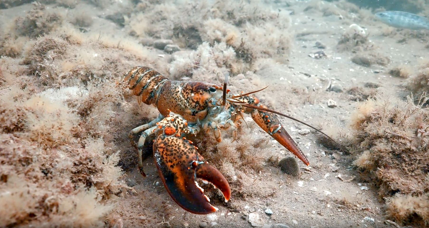
Homarus Inc. – The science of sustainability
Homarus Inc. and Fisheries and Oceans Canada (DFO): Working together to better understand the nursery grounds for Eastern Canada's lucrative lobster fishery.
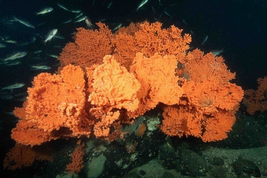
Mamalilikulla First Nation Guardians
The Mamalilikulla (Mama-lee-lee-kalla) First Nation and Fisheries and Oceans Canada (DFO) are working together. We protect a unique and fragile marine ecosystem in Knight Inlet, British Columbia (BC).
- Date modified: